Enhancing Mapping and Monitoring with TOF Technology and LiDAR Drones
(2025年04月24日)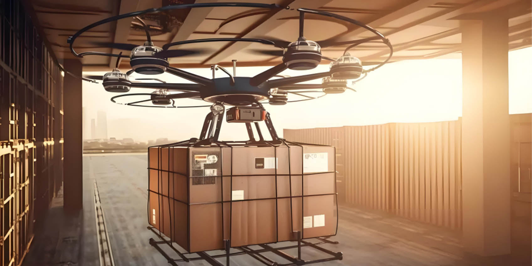
Field of View (FOV) in LiDAR UAV Applications
Field of View (FOV) refers to the observable area that an optical or imaging system can capture. It defines how much of a scene a camera or sensor can see at any given moment and is essential in various applications such as drone mapping, LiDAR technology, and environmental sensors. In the context of LiDAR-equipped UAVs (Unmanned Aerial Vehicles), the FOV is a critical factor that influences mapping accuracy, coverage area, and overall efficiency. A larger FOV increases the area covered in each scan, enhancing mapping speed but potentially sacrificing resolution. Conversely, a smaller FOV provides finer detail, which is beneficial for tasks requiring high precision, like building inspections. Adjusting the FOV for different mapping scenarios is key to achieving optimal results.
What is TOF (Time of Flight) Technology?
TOF (Time of Flight) technology is a distance measurement technique that calculates the distance between a sensor and an object by emitting a light pulse and measuring how long it takes for the light to return. TOF sensors are essential in fields like autonomous driving, robotics, industrial inspections, and 3D imaging. In LiDAR UAV systems, TOF technology significantly improves depth accuracy, which enhances terrain mapping and environmental monitoring capabilities, providing highly detailed data for various applications.
The Synergy of TOF and LiDAR in Drone Applications
When TOF technology is integrated with LiDAR sensors, it offers advanced mapping and monitoring solutions for drones. LiDAR UAVs equipped with TOF sensors can precisely capture terrain data while adjusting the FOV for improved range and efficiency. The ability to fine-tune the FOV makes it possible to balance between fast large-area scans and highly detailed, localized measurements, depending on the specific mapping requirements. This combination results in high-resolution data that is vital for urban planning, forestry management, disaster recovery, and more.

Advantages of LiDAR-equipped Drones
LiDAR drones have revolutionized traditional mapping methods by providing faster, more accurate results. With the ability to penetrate vegetation, LiDAR sensors collect reliable data even in dense forests or obstructed environments, something conventional methods struggle with. These drones are also more time-efficient, capable of covering large areas in a fraction of the time it would take using ground-based surveys, significantly reducing operational costs and safety risks.
How TOF Technology Enhances LiDAR UAV Mapping
Enhanced Precision
TOF sensors provide millimeter-level depth accuracy by emitting light pulses and measuring their return time. This makes LiDAR-equipped drones extremely accurate in capturing complex terrain features, such as ground elevation, building heights, and other critical structural information. TOF's immunity to lighting variations further improves mapping performance under varying environmental conditions, including in bright sunlight, shadows, or low-light settings. This is particularly beneficial for tasks like terrain reconstruction, infrastructure monitoring, and underground pipeline detection.
Optimized FOV for Different Mapping Needs
By adjusting the FOV, LiDAR UAVs can cater to different mapping requirements. For broad-area surveys, a wider FOV ensures faster data collection and greater coverage, reducing the need for multiple flights. On the other hand, narrowing the FOV can improve local scanning accuracy, essential for detailed surveys such as small-scale infrastructure inspections or building modeling. TOF sensors dynamically adjust the FOV based on environmental factors, ensuring optimal mapping results in diverse scenarios like urban environments or forested landscapes.
High-Quality 3D Models
LiDAR UAVs that combine TOF technology produce high-resolution 3D models by capturing detailed structural data. These models are valuable for urban planning, civil engineering, and archaeological studies, where precise spatial data is critical. TOF technology also adds another layer of detail by capturing surface properties and materials, improving the realism and accuracy of 3D models. This capability is vital for smart city development and advanced infrastructure monitoring.

Superior Environmental Adaptability
Traditional mapping systems are vulnerable to environmental challenges such as poor visibility or adverse weather conditions. However, drones using TOF sensors can continue collecting data even in low-visibility conditions, including fog, rain, or at night. TOF sensors can penetrate obstacles like smoke or vegetation, enabling stable and reliable data collection, even in extreme environments. This adaptability extends the operational use of LiDAR UAVs to a wide range of industries, including disaster response, ecological monitoring, and exploration in remote areas.
Key Applications of LiDAR Drones
Terrain Mapping
LiDAR-equipped drones, powered by TOF technology, can quickly and accurately map large geographical areas. The ability to emit and receive light pulses with millimeter-level precision allows for the creation of high-resolution digital elevation models (DEMs). These models are crucial for applications in civil engineering, land use planning, and environmental management. In difficult terrain, such as mountainous or rugged regions, LiDAR UAVs outperform traditional ground surveys, delivering faster and more precise results.
Building and Infrastructure Inspection
For large-scale infrastructure inspections, such as bridges, tunnels, and power lines, LiDAR drones equipped with TOF technology provide a comprehensive and detailed overview. Drones can easily scan vertical surfaces to detect cracks or faults, offering engineers accurate data for maintenance and safety assessments. With their ability to reach high or otherwise inaccessible areas, LiDAR UAVs improve both safety and inspection efficiency, especially in hazardous or difficult-to-reach locations.
Agricultural and Forestry Monitoring
TOF-enabled LiDAR drones are transforming agriculture and forestry management by accurately assessing vegetation growth, crop health, and forest canopy coverage. These drones assist in precision agriculture by providing real-time data for targeted irrigation, pest control, and crop yield prediction. Similarly, in forestry management, LiDAR drones help monitor forest health, assess biomass, and detect environmental changes, supporting sustainable agricultural and forestry practices.
Disaster Monitoring and Response
In the aftermath of natural disasters like earthquakes, floods, or wildfires, LiDAR drones equipped with TOF sensors are invaluable for rapid assessment and recovery efforts. These drones create accurate 3D maps of disaster zones, allowing emergency teams to evaluate damage to infrastructure, roads, and buildings. Real-time data helps prioritize rescue efforts, navigate through damaged areas, and make informed decisions for recovery planning.
Autonomous Navigation and Driving
TOF sensors integrated with LiDAR technology are essential in autonomous driving systems, where real-time environmental sensing is critical. Autonomous vehicles use this technology to generate 3D maps of their surroundings, enabling precise obstacle detection, collision avoidance, and dynamic route adjustments. This technology is also instrumental in UAV navigation, where LiDAR-equipped drones can autonomously navigate complex environments with enhanced stability and accuracy.
Conclusion
The combination of TOF technology and LiDAR in drones is transforming industries by offering precise, efficient, and adaptable solutions for a variety of applications. Whether it's for terrain mapping, infrastructure inspection, environmental monitoring, or disaster response, LiDAR UAVs with TOF sensors provide highly detailed data that is invaluable for decision-making and planning. As drone technology continues to evolve, the role of TOF sensors will become increasingly crucial, further advancing the capabilities of intelligent mapping and environmental sensing systems.
Synexens 3D Of RGBD ToF Depth Sensor_CS30

After-sales Support:
Our professional technical team specializing in 3D camera ranging is ready to assist you at any time. Whether you encounter any issues with your TOF camera after purchase or need clarification on TOF technology, feel free to contact us anytime. We are committed to providing high-quality technical after-sales service and user experience, ensuring your peace of mind in both shopping and using our products.
- このできごとのURL:


コメント