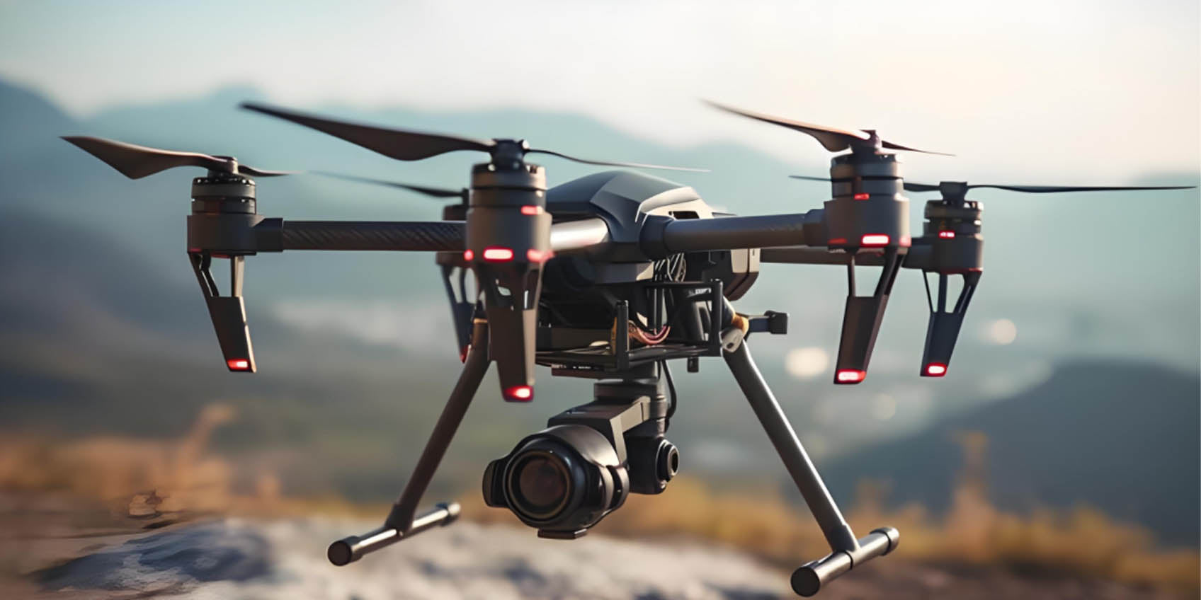
LiDAR Drones with ToF: Advancing Precision Mapping and Spatial Analysis
(2025年01月08日)LiDAR drones, or unmanned aerial vehicles (UAVs) equipped with Light Detection and Ranging (LiDAR) sensors, have emerged as indispensable tools for industries requiring high-precision spatial data. By emitting laser pulses and measuring their return times after reflecting off surfaces, LiDAR drones create accurate 3D point cloud models. The integration of Time-of-Flight (ToF) technology has further transformed this field, enhancing measurement accuracy and efficiency in challenging environments.
1. LiDAR Drones: A Key Tool for Spatial Data Collection
LiDAR drones have become essential in geographic information systems (GIS), environmental studies, construction, and urban planning. These UAVs efficiently map large-scale terrain and gather precise spatial data, significantly outpacing traditional methods. Applications include:
Terrain Mapping: Generating detailed topographic maps.
Forest Management: Analyzing canopy structures and tree density.
Agricultural Monitoring: Assessing crop health and soil conditions.
Urban Modeling: Creating 3D models of buildings and infrastructure.
Archaeological Surveys: Unveiling historical sites beneath vegetation.
However, traditional LiDAR systems face challenges in densely vegetated areas and urban landscapes. ToF technology overcomes these limitations, enabling LiDAR drones to deliver superior results.
2. Time-of-Flight (ToF) Technology: Enhancing Performance
ToF sensors measure the time light takes to travel to an object and back, providing precise depth data. When integrated with LiDAR drones, ToF technology boosts performance by:
Improving Accuracy: Capturing intricate details in complex environments.
Speeding Data Collection: Ensuring rapid measurement without sacrificing precision.
Enhancing Depth Perception: Delivering reliable 3D spatial data in real-time.
This synergy allows LiDAR drones to generate comprehensive 3D models, even in areas with occlusions or varied lighting conditions.

3. The Impact of LiDAR and ToF Integration
The combination of LiDAR and ToF technology unlocks new possibilities in precision mapping and spatial awareness. Key benefits include:
Precise 3D Modeling: Ideal for terrain mapping, urban planning, and structural analysis, ToF-equipped LiDAR drones excel in representing complex terrains, such as mountainous regions or crowded cities.
Improved Accuracy in Dense Environments: ToF technology mitigates errors caused by reflections and occlusions, ensuring reliable measurements in forests or urban settings.
Dynamic Monitoring: Real-time data collection allows for immediate landscape assessments during disasters, enabling timely decision-making.
Enhanced Data Analysis: The integration of LiDAR and ToF data provides multi-dimensional insights, fostering better predictions, risk assessments, and resource optimization.
4. Applications of LiDAR Drones with ToF Technology
The enhanced capabilities of LiDAR drones equipped with ToF technology open up transformative opportunities across various fields:
Urban Planning: Creating detailed 3D city models to optimize infrastructure and traffic management for smart cities.
Agriculture: Supporting precision farming by analyzing crop health, soil conditions, and water distribution.
Forestry: Monitoring forest resources and biodiversity for sustainable management.
Disaster Response: Rapidly assessing post-disaster terrain changes to aid recovery efforts.

5. The Future of LiDAR Drones with ToF Technology
As LiDAR and ToF technologies continue to evolve, their applications will expand into more industries. From enhancing automation in environmental monitoring to driving innovation in urban planning, these advancements will redefine how spatial data is collected and utilized.
LiDAR drones integrated with ToF technology represent a significant leap forward in precision mapping and 3D modeling. By delivering unparalleled accuracy and efficiency, they are set to become indispensable tools in agriculture, construction, urban development, and beyond.
By combining LiDAR drones and Time-of-Flight (ToF) technology, industries gain access to cutting-edge solutions for mapping and spatial analysis. The resulting advancements not only improve operational efficiency but also drive innovation, making these technologies vital for the future of various sectors.
Synexens 3D Of RGBD ToF Depth Sensor_CS30
BUY IT NOW
After-sales Support:
Our professional technical team specializing in 3D camera ranging is ready to assist you at any time. Whether you encounter any issues with your TOF camera after purchase or need clarification on TOF technology, feel free to contact us anytime. We are committed to providing high-quality technical after-sales service and user experience, ensuring your peace of mind in both shopping and using our products
- このできごとのURL:


コメント