LiDAR Drones with ToF Technology: Revolutionary Precision Mapping Solution
(2025年01月06日)What is a LiDAR Drone?
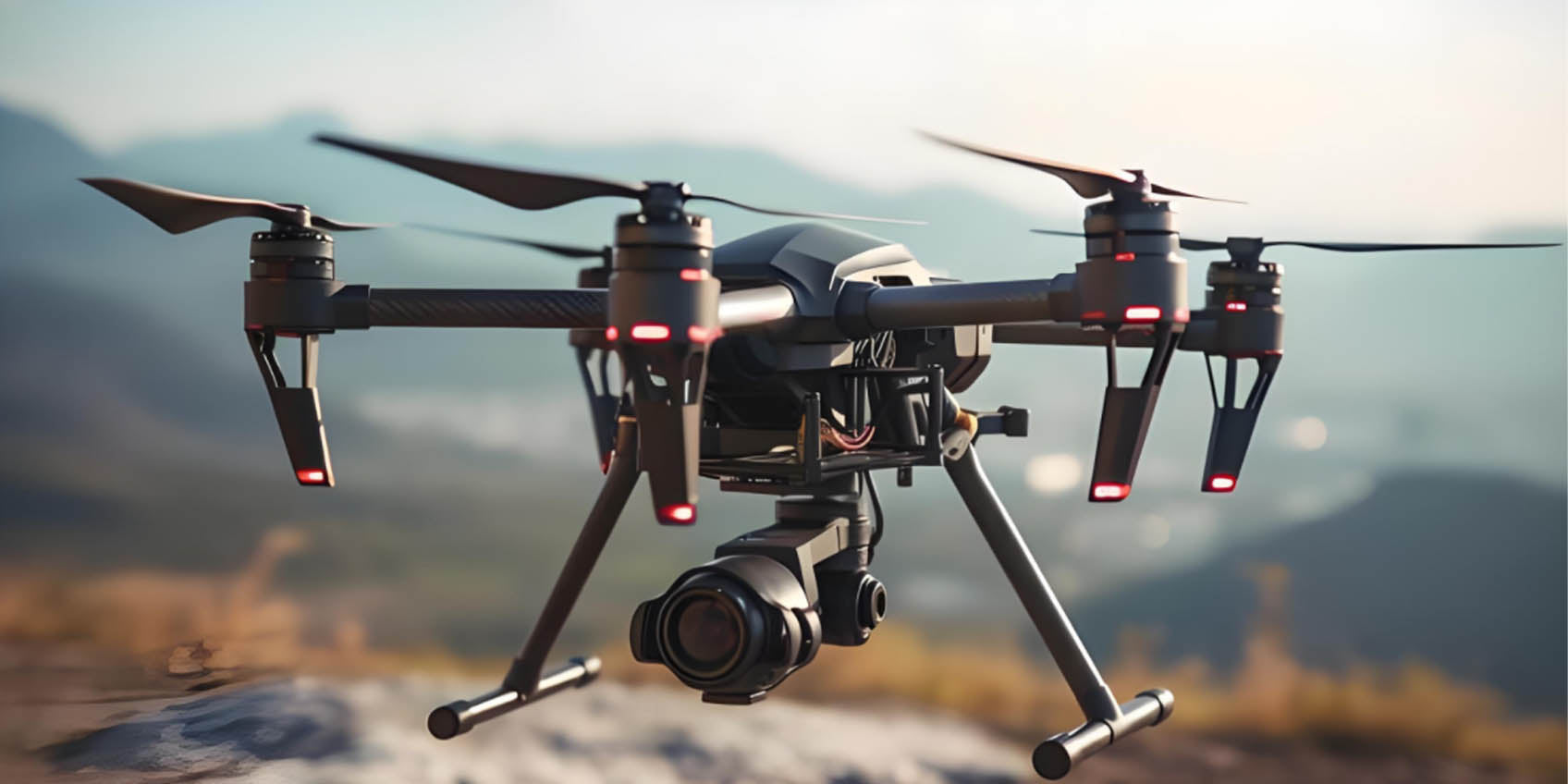
A LiDAR drone is an unmanned aerial vehicle (UAV) equipped with a LiDAR sensor (Light Detection and Ranging), a technology that uses laser pulses to measure distances by calculating the time it takes for the light to return after hitting an object. This enables the creation of highly detailed 3D point cloud data, making LiDAR drones an essential tool for precision mapping and spatial analysis.
LiDAR drones are widely utilized in applications such as terrain mapping, forestry management, agricultural monitoring, archaeological surveys, and urban planning. They are particularly effective in capturing accurate surface data, even in challenging environments and weather conditions, making them indispensable for projects that are difficult to execute with traditional methods.
With advancements in drone and sensor technology, LiDAR drones have become pivotal in Geographic Information Systems (GIS), construction, environmental monitoring, and smart city planning. Combining the flight capabilities of drones with cutting-edge LiDAR technology, they offer high-precision spatial data collection. Recent innovations, such as Time-of-Flight (ToF) technology, have further enhanced the performance of LiDAR drones, enabling more accurate and efficient data acquisition in complex environments.

1. LiDAR Drones: Tools for Accurate Spatial Mapping
LiDAR drones rely on laser beams to measure distances to objects or terrain surfaces, generating detailed 3D point cloud data. Compared to traditional surveying methods, LiDAR drones offer higher efficiency and precision, making them invaluable for tasks like map creation, forestry surveys, mining exploration, and building inspections.
While LiDAR excels at capturing 2D spatial data, it faces challenges in densely vegetated or urbanized areas. The integration of ToF technology addresses these limitations, providing enhanced 3D spatial accuracy and opening up new possibilities for complex applications.
2. Time-of-Flight (ToF) Technology: A Game-Changer for LiDAR Drones
Time-of-Flight (ToF) technology measures the time light takes to travel between a sensor and an object, offering high-precision depth measurement. While traditional LiDAR systems already provide depth data, ToF technology enhances measurement accuracy, especially in complex environments.
ToF-equipped LiDAR drones can generate accurate 3D point cloud data in real-time, detecting distances, shapes, and positions of objects with improved precision. This synergy between LiDAR and ToF enables drones to capture both 2D and 3D spatial data for better analysis and decision-making.

3. The Advantages of Combining LiDAR with ToF Technology
Enhanced 3D Modeling:
In applications like terrain mapping and building modeling, ToF-enhanced LiDAR drones deliver highly accurate 3D reconstructions. This is especially beneficial in complex terrains such as mountainous regions or dense urban landscapes.
Improved Accuracy in Challenging Environments:
Traditional LiDAR systems may encounter errors in urban or forested areas due to reflections, occlusions, or poor lighting. ToF technology overcomes these issues by improving depth accuracy and enabling faster data collection.
Real-Time Monitoring:
For disaster response and environmental assessments, LiDAR drones with ToF can capture dynamic landscape changes in real-time, aiding quick decision-making during emergencies like floods or wildfires.
Comprehensive Data Analysis:
The combined data from LiDAR and ToF offers richer 3D datasets, enabling detailed analysis for industries like urban planning, construction, and resource management.
4. Applications of LiDAR Drones with ToF Technology
Urban Planning and Smart Cities:
ToF-equipped LiDAR drones produce detailed 3D maps, aiding in infrastructure planning, traffic flow analysis, and optimizing city layouts for smarter urban development.
Agriculture and Forestry:
In precision agriculture and forest management, these drones provide insights into crop health, soil conditions, and resource distribution, driving sustainability.
Disaster Response:
LiDAR drones with ToF technology are instrumental in assessing post-disaster damage, aiding rescue operations with accurate terrain and structure data.
5. The Future of LiDAR Drones with ToF Technology
As ToF technology evolves, LiDAR drones will become even more integral to industries like mapping, urban planning, and environmental monitoring. This combination enables higher precision, efficiency, and accuracy in data collection, paving the way for smarter, more automated solutions in various sectors.
Conclusion
LiDAR drones, enhanced with Time-of-Flight (ToF) technology, represent a breakthrough in spatial mapping and analysis. By improving depth perception and enabling accurate 3D modeling, they deliver unparalleled performance in complex environments. With applications ranging from urban planning to disaster management, these drones are set to revolutionize industries and drive innovation in data-driven decision-making.
Synexens 3D Of RGBD ToF Depth Sensor_CS30
BUY IT NOWhttps://tofsensors.com/collections/time-of-flight-sensor/products/rgbd-3d-camera
After-sales Support:
Our professional technical team specializing in 3D camera ranging is ready to assist you at any time. Whether you encounter any issues with your TOF camera after purchase or need clarification on TOF technology, feel free to contact us anytime. We are committed to providing high-quality technical after-sales service and user experience, ensuring your peace of mind in both shopping and using our products
- このできごとのURL:


コメント